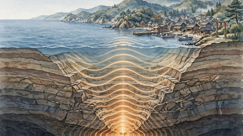
A deep magnitude 6.0 earthquake struck near Shima, Japan, on October 31, 2026, shaking the region from a focus far below the Earth’s surface. The United States Geological Survey (USGS) recorded the earthquake at 22:15 UTC, about 58 kilometres south-southeast of Shima, at a depth of 352.4 kilometres. Despite its size, the earthquake caused only weak shaking at the surface, and authorities said there was no tsunami threat.
The USGS issued a green alert for the event, indicating a low likelihood of casualties or damage. Early modelled shaking reached intensity III, described as weak, and 14 public felt reports were recorded. No damage or casualties were reported in the initial data, and the earthquake’s great depth was the key reason the shaking felt at the surface was so limited.
Key Takeaways
- A magnitude 6.0 earthquake struck 58 kilometres south-southeast of Shima, Japan, at 22:15 UTC on October 31, 2026.
- The earthquake was unusually deep, at 352.4 kilometres below the surface, which kept surface shaking weak despite its magnitude.
- The USGS issued a green alert, meaning a low likelihood of casualties or damage, and said there is no tsunami threat.
What the USGS Recorded
The earthquake’s epicentre was located 58 kilometres south-southeast of Shima, a coastal city on Japan’s Pacific side. Its magnitude was measured at 6.0, which would normally be strong enough to cause noticeable shaking and, in a shallow event, possible damage. But this earthquake was different because of where it happened underground.
At 352.4 kilometres deep, the earthquake’s focus sat far below the crust, in the upper mantle. By the time seismic energy travelled that distance to the surface, much of its force had spread out and weakened. That is why modelled shaking reached only intensity III, or weak, and why only a small number of felt reports came in even though the magnitude was substantial.
The USGS green alert reflects that assessment. A green alert means the earthquake is estimated to have a low likelihood of causing casualties or damage, based on its magnitude, depth, location and the population exposed to shaking. It is an early modelled estimate, and the USGS notes that its earthquake data can be revised as more information arrives.
- Magnitude 6.0, recorded at 22:15 UTC on October 31, 2026
- Epicentre 58 kilometres south-southeast of Shima, Japan
- Depth of 352.4 kilometres — far deeper than most damaging earthquakes
- Modelled shaking of intensity III, described as weak
- USGS green alert: low likelihood of casualties or damage
- No tsunami warning, watch or advisory issued
Why a Magnitude 6.0 Quake Can Feel Weak
Earthquake magnitude and felt shaking are not the same thing. Magnitude measures the energy released at the source, while shaking at any given place depends heavily on how deep the source is and how far away it lies. A shallow magnitude 6.0 earthquake, with its focus only a few kilometres below the surface, can shake nearby towns violently. A deep earthquake of the same magnitude spreads its energy over a much larger volume of rock before it reaches the surface.
Japan sits in one of the most seismically active regions on Earth, where the Pacific Plate sinks beneath neighbouring plates in a process called subduction. That sinking plate can generate earthquakes hundreds of kilometres below the surface, and deep earthquakes like the one near Shima are a known feature of this setting. They are often felt over a wide area at low intensity, rather than causing strong shaking in one place.
The same Pacific region has produced very different kinds of events this week. The Mayon volcano eruption in the Philippines forced more than 2,000 people to evacuate, while the remnants of Cyclone Arnab stranded trekkers in heavy snow in Nepal, a reminder of how varied natural hazards across Asia can be on a single day.
There is no tsunami threat associated with this earthquake, based on its location and available data.
No Tsunami Threat
There is no tsunami threat associated with this earthquake, based on its location and available data. No tsunami warning, watch or advisory was issued by the Pacific Tsunami Warning Center or the USGS for this event. The earthquake’s great depth meant it did not generate the kind of vertical seafloor displacement that can trigger a hazardous tsunami wave.
Tsunamis are most dangerous when a shallow earthquake suddenly moves the seafloor up or down, displacing a large volume of ocean water. A deep earthquake, even a strong one, moves the surface far less, because the rupture happens hundreds of kilometres below the ocean floor. That is why deep earthquakes, despite their magnitude, rarely produce tsunamis.
Japan’s own history shows the contrast. The country’s most destructive tsunamis have come from shallow offshore earthquakes, where the seafloor shifted abruptly. The Shima earthquake, at more than 350 kilometres deep, belongs to a very different category, and the early assessments reflect that difference.
Japan’s Deep Earthquake Zone
Deep earthquakes are a regular part of life in and around Japan, and seismologists study them closely because they reveal how tectonic plates behave far underground. The Pacific Plate beneath Japan descends at a steep angle, and earthquakes can occur along it at depths of several hundred kilometres. These events help scientists map the plate’s shape and movement, even when they cause little damage at the surface.
For residents, the practical difference matters. A deep earthquake may be felt as a gentle, rolling motion over a wide area, rather than the sharp jolt of a shallow quake nearby. That matches the early picture from Shima, where shaking was modelled as weak and felt reports were limited. Japan has also faced powerful shallow quakes before, including the earthquake in Afghanistan’s Hindu Kush region reported earlier this month, which showed how a shallower event in a mountainous region can pose a very different kind of risk.
What to Watch Next
What happens next depends on updates from monitoring agencies. Watch for whether the USGS revises its initial magnitude or depth figures as more data arrives, whether any damage or additional felt reports emerge beyond the early weak-shaking assessment, and whether the no-tsunami-threat assessment remains unchanged. The green alert already points to a low likelihood of casualties or damage, and the key question now is whether that early picture holds as the full data set comes in.